Guide
CGIs for Planning Applications: What UK Planning Authorities Expect
No national rule says a planning application must include a CGI. What a planning authority needs is to understand what is proposed, and so do the neighbours and consultees who comment on it. For anything beyond a minor change, well-made visuals are often the quickest route to that understanding, and a misleading image can do a scheme real harm.
This guide explains where CGIs, photomontages and survey-accurate views fit into a planning application in England: the validation requirements of your local planning authority (LPA), Design and Access Statements, pre-application advice, committee presentations, heritage settings and appeals. It also sets out the Landscape Institute's four visualisation types, so you can commission the level of accuracy a site needs, no more and no less.
It is a guide, not planning advice. Your planning consultant or architect decides what goes into a submission; our job is to make the images they ask for, and to be clear about how each one was made.

Written by Shrey Agarwal, Founder & Studio Director at Build3DRender
Published 25 October 2026
What planning visuals are for
Drawings describe a scheme precisely but most people struggle to read them. Planning visuals turn them into views that a planning officer, a committee member or the family next door can judge at a glance: how tall the building looks from the pavement, how it meets the houses on either side, and what the brick and roof will look like on an ordinary grey afternoon.
Three kinds of image turn up in submissions. Illustrative CGIs show the design attractively but are not tied to a measured viewpoint. Photomontages place a model of the scheme into a photograph of the real site. The most rigorous kind have their camera positions surveyed, so anyone can check that the proposal is shown at the correct size and position. Choosing between them is mostly a question of how sensitive the site is and how closely the images will be examined.
Validation: start with the local list
Most planning applications are made to the LPA, which in two-tier areas is usually the district council. Alongside the national requirements for a valid application, each LPA publishes its own local information requirements, normally called the local list. That list is where you find out whether the council wants visual material for a given type of development, and in what form. Some ask for photomontages for tall buildings or schemes in sensitive views; plenty say nothing specific about CGIs at all.
Check the current local list on the council's website before the brief is written, because lists are revised and they decide what a validation officer will look for. Where the list is silent, the choice rests with your planning consultant or architect. London boroughs add their own layer, including protected views, and our page on 3D rendering in London covers the capital's planning context in more depth.
Design and Access Statements
A Design and Access Statement explains the design principles behind a proposal and how it responds to its site. It is required for major development; for development in a conservation area or World Heritage Site where the proposal involves one or more dwellings or a building of 100 square metres or more; and for applications for listed building consent. Changes of use, engineering or mining operations and applications to amend conditions do not need one.
Visuals support a Design and Access Statement rather than being a requirement of it. A pair of street-level CGIs showing the scheme beside its neighbours, or a short sequence of views through a courtyard, often says more about scale and character than a page of text. Design and Access Statement visuals work best when each image answers a point the statement makes, so brief them alongside the written statement rather than after it is finished.
Pre-application advice and early visuals
Many applicants seek pre-application advice from the LPA before submitting, especially for larger or sensitive schemes. Simple visuals at this stage, such as a massing study set into its street or a quick photomontage from one key viewpoint, help officers respond with clearer feedback and raise concerns about height or bulk while the design can still move.
Keep pre-application visuals honest and modest. They are a tool for a conversation, not a marketing image, and a polished view of a design that later changes can create expectations the final scheme does not meet. The full set of planning images is usually best commissioned once the design has settled after that feedback, using a model that can be updated rather than rebuilt.
Householder applications and major schemes
The visuals a scheme needs scale with the scheme. A rear extension and a two-hundred-home development face very different levels of scrutiny, and the images should reflect that difference rather than treat every application alike.
Extensions, outbuildings and other householder work
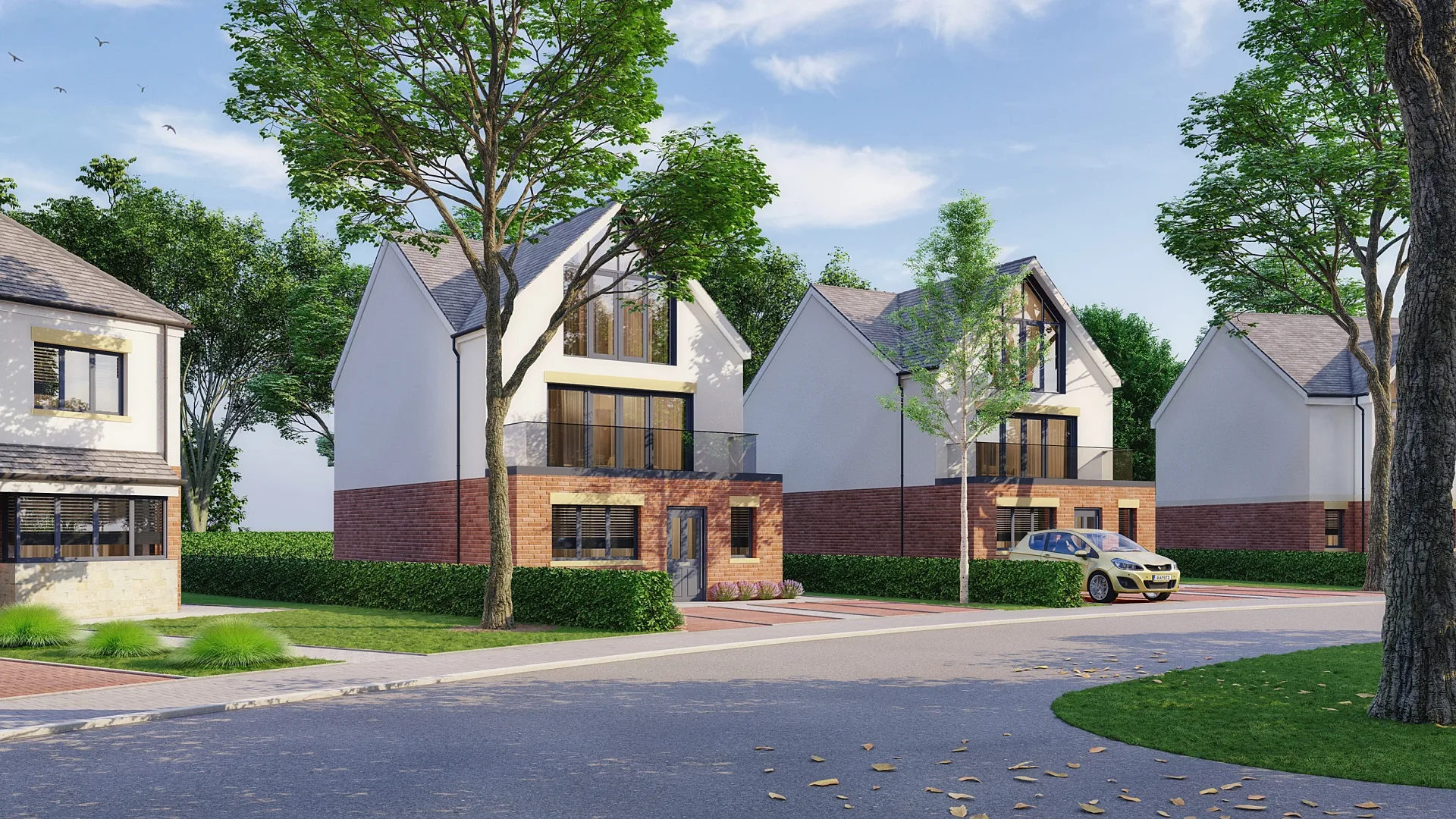
Many householder applications are decided by planning officers under delegated powers rather than by a committee, since delegation exists so that applications raising no significant planning issues are decided quickly. For a rear extension, a loft dormer or a garden room, one or two 3D exterior renders from the garden or the street, built from the application drawings, can show that the addition sits comfortably against the existing house and the neighbours' windows. They rarely need survey-level accuracy.
Major applications
Major development draws more consultees, more public comment and, often, a committee decision. Visual material will be examined closely, so the brief should state which viewpoints matter, which images are illustrative and which claim accuracy, and how each was produced. Where a site is visible from a protected view or sits in a historic setting, this is where photomontages and surveyed views earn their place.
Conservation areas and listed building settings
Most conservation areas are designated by local planning authorities, usually supported by an appraisal that describes what gives the area its character. A proposal inside one, or on its edge, is judged against that character, so visuals should show the scheme in its real context: the roofline of the street, the rhythm of windows and the materials of the buildings around it.
Listed buildings raise a related question. Works to demolish part of, alter or extend a listed building in a way that affects its character need listed building consent, whether or not planning permission is also needed. Even where the listed building itself is untouched, the setting of a listed building is often assessed through the visual relationship between it and a new proposal. A photomontage from the places where the two are seen together is the clearest way to show that relationship, and in sensitive cases the accuracy of that image matters as much as its finish.
TGN 06/19 and the four visualisation types
The Landscape Institute's Technical Guidance Note 06/19, Visual Representation of Development Proposals, is the reference most planning professionals use for visual accuracy. It was published in September 2019, it is still the current note, and the Institute has said it is under review. It describes four visualisation types, running from the least to the most rigorous.
- Type 1, annotated viewpoint photograph: a photograph of the site with the position of the proposal marked on it.
- Type 2, 3D wireline or model: the scheme shown as an outline or simple model, useful for testing massing.
- Type 3, photomontage or photowire: the rendered scheme placed into a photograph of the site, with the method described.
- Type 4, photomontage or photowire that is survey or scale verifiable: camera positions and reference points are surveyed so the image can be checked.
Where Type 4 fits
Type 4 is what the industry calls verified views, or accurate visual representations. They suit schemes that affect a protected view, a heritage setting or an open landscape, and they depend on camera positions fixed by survey. We do not survey: our photomontages are built from your site photographs, and where Type 4 is required the survey is yours to commission and we build the montage to its camera data. Our dedicated page sets out the method, the deliverables and how the documentation is presented.
One frequent confusion is worth clearing up. The AVR levels numbered 0 to 3 come from the London View Management Framework, not from the Landscape Institute. TGN 06/19 points readers to that framework for them, but its own scale is the four types listed above, so a brief should say which system it is using.
Planning committees and appeals
An LPA can decide applications through a committee, a sub-committee or its officers. Larger or contentious schemes typically go before a planning committee of elected members, where the officer presents the application and the visuals are shown on screen. For a planning committee presentation, the images that work are those taken from viewpoints members recognise, labelled clearly as illustrative or accurate, and consistent with the drawings that were submitted.
If permission is refused, or no decision arrives within the statutory period, the applicant can appeal to the Planning Inspectorate, and householder appeals run through a separate householder appeal service. An inspector reads visual evidence closely, and so will the council in setting out its case, so any image that claims accuracy should come with an explanation of how it was made. Images produced for marketing are best kept out of an appeal altogether.
England, Wales, Scotland and Northern Ireland
Planning is devolved, and this guide is written for England. The National Planning Policy Framework (NPPF) sets national planning policy for England only, and it has been revised more than once, so read the current version on gov.uk rather than an older summary. In Wales, national policy is set out in Planning Policy Wales. Scotland and Northern Ireland have their own national planning frameworks, which differ from England's in both policy and procedure. The principles here, honest viewpoints and a documented method, travel well across all four nations; the requirements behind them do not, so always check with the planning authority where the site is.
Looking for prices? Standard images are listed on one page, 3D rendering cost in the UK, while photomontages and verified views are quoted per project with the method documented.
Questions
Frequently asked questions
Not as a national rule. Check your LPA's local list, which sets out its own validation requirements, and take advice from your planning consultant or architect. Many applications are validated without CGIs, but where scale, character or a heritage setting is in question, visuals are often the clearest way to explain a proposal.
No. A Design and Access Statement is required for major development, for some development in conservation areas and World Heritage Sites, and for listed building consent, but it does not have to contain CGIs. Visuals support it by illustrating the design principles it describes, which is why they are often included.
An illustrative CGI shows the design but is not tied to a measured viewpoint. A photomontage places the modelled scheme into a photograph of the real site. A verified view is a photomontage whose camera positions and reference points have been surveyed, so its accuracy can be checked. Each suits a different level of scrutiny.
It is the Landscape Institute's Technical Guidance Note 06/19, Visual Representation of Development Proposals, published in September 2019. It defines Visualisation Types 1 to 4, from an annotated photograph to a survey-verifiable photomontage. The Institute says the note is under review, but no replacement has been published, so it remains the current reference.
No. TGN 06/19 defines Visualisation Types 1 to 4. The AVR levels numbered 0 to 3 come from the London View Management Framework, which the Landscape Institute note refers readers to. Mixing the two systems up in a brief or a report is a common and avoidable error.
Often none are required, so check the local list first. Where visuals help, one or two CGIs from the garden or the street, built from the application drawings, usually show the relationship with the existing house and the neighbours well enough. Survey-accurate views are rarely needed for householder work.
Yes, appeals to the Planning Inspectorate can include visual material, but it will be read closely by the inspector and by the council. Any image that claims accuracy should be accompanied by an explanation of how it was made, and images produced for marketing are best left out of appeal evidence.
The visual principles do, but the policy context differs. The NPPF covers England only. Wales has Planning Policy Wales, and Scotland and Northern Ireland have their own national planning frameworks. Check what the relevant planning authority asks for before commissioning any visuals for a submission there.
Services
Commission a render
Property CGI
Property CGIs for UK developers and build-to-rent: exterior, interior and aerial CGIs for brochures, portals and hoardings.
from £225 per image
3D Interior Rendering
3D interior rendering for interior designers, developers and show homes.
from £225 per image
3D Exterior Rendering
3D exterior rendering for UK developers and architects: street-level, aerial and masterplan CGIs from £295.
from £295 per image
Verified Views
Verified views and photomontages for UK planning applications, built from your site photographs to a documented method.
from Fixed quote per project
Architectural Animation
Architectural animation, walkthroughs and CGI flythroughs for UK developments, from £45 per second (30-second minimum).
from £45 per second (30-second minimum)
3D Floor Plans
Rendered 3D floor plans for UK developers, estate agents and brochures.
from £395 per plan
Housetype CGI
Housetype CGIs for UK housebuilders: one model per house type, rendered across elevations, materials and plots.
from £295 per view
3D Product Rendering
3D product rendering and furniture CGI for UK brands: white-background, lifestyle and room-set images from CAD or photos.
from Fixed quote per image
Kitchen CGI
Kitchen, bathroom and bedroom CGIs for UK KBB brands and retailers: brochure room sets, door-range variants and lifestyle images from £225 per image.
from £225 per image
Commercial 3D Rendering
Commercial 3D rendering for offices, retail, hospitality, student accommodation and logistics schemes.
from £295 per image
Virtual Staging
Virtual staging for UK estate agents, landlords and build-to-rent: empty rooms furnished by 3D artists, not AI filters.
from £95 per room
More guides
Keep reading
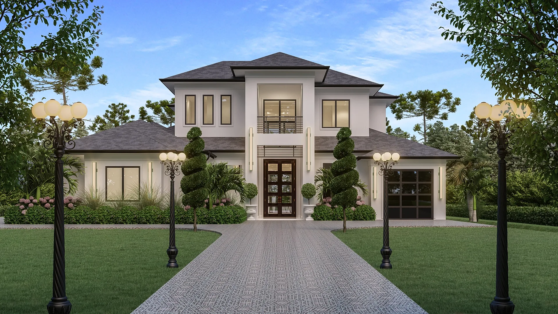
What Is 3D Rendering?
What 3D rendering is, how a CGI is made from drawings, how it differs from a photo or an AI image, and when a UK project needs one.
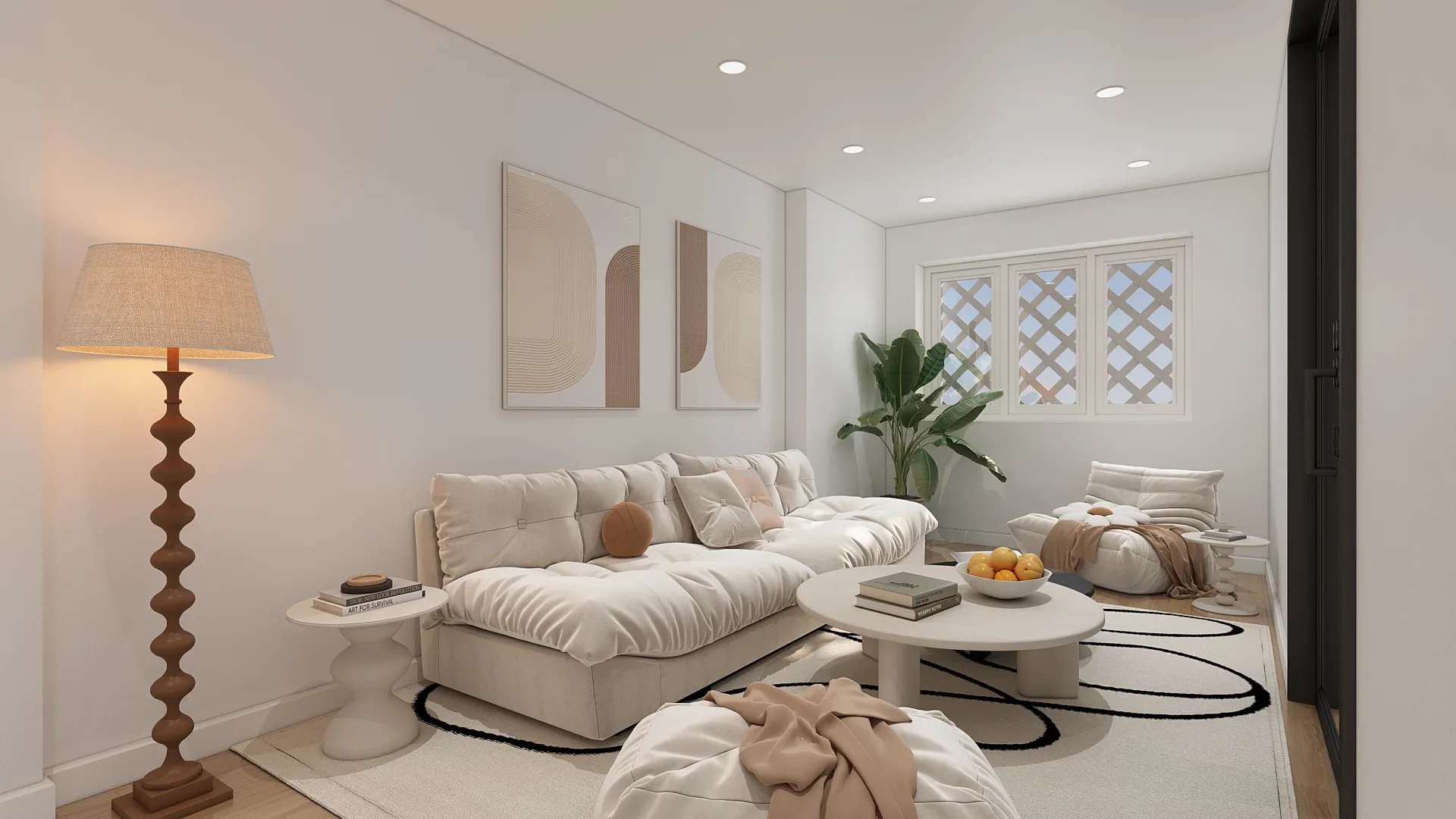
How to Brief a 3D Render
A one-page checklist for briefing a CGI: drawings, CAD formats, materials, camera views, mark-up rules and the questions a UK studio will ask.
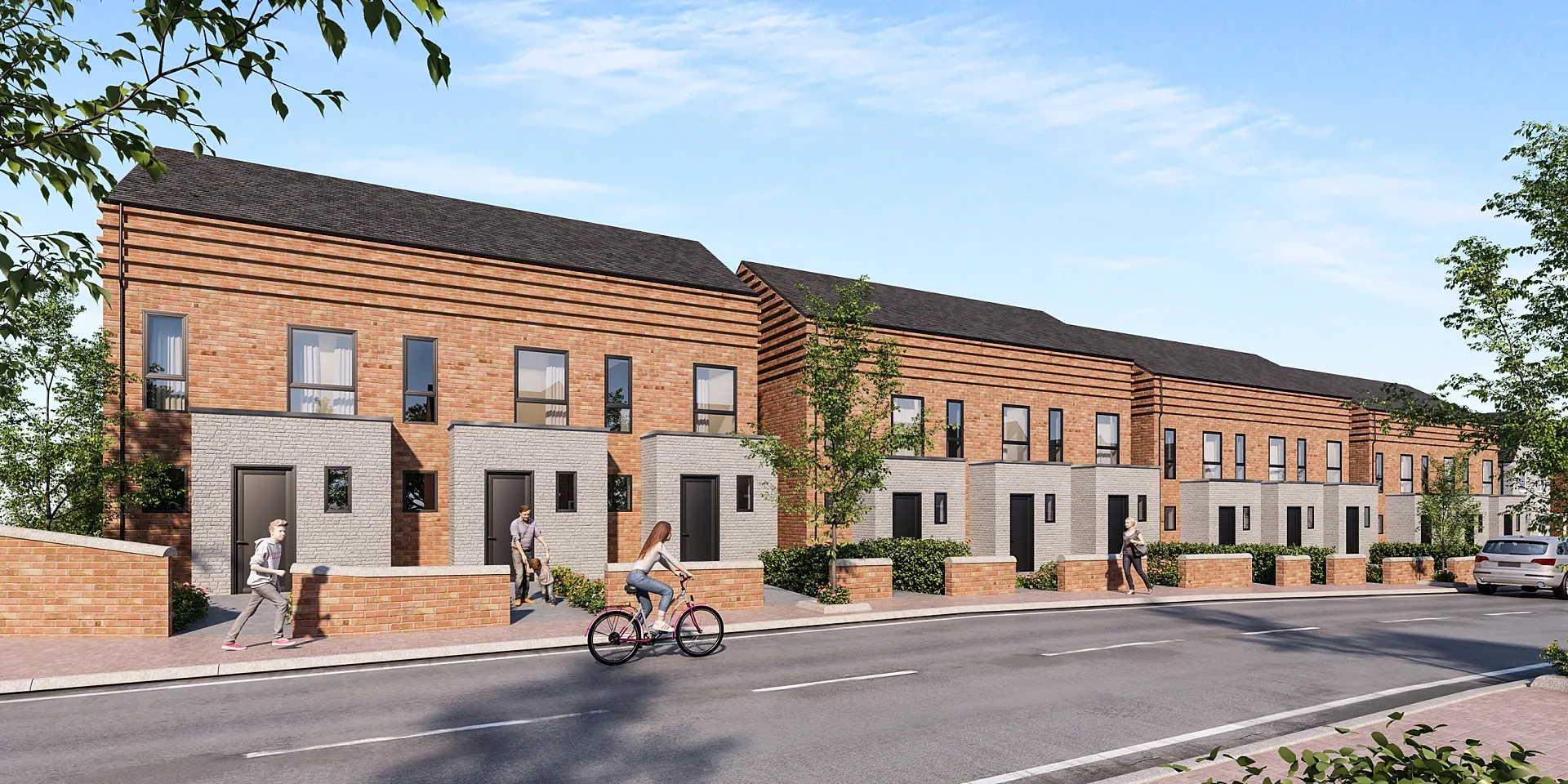
Off-Plan Marketing with CGI: A Developer's Guide
How UK developers sell off-plan with CGIs, floor plans and animation: what to commission at each stage, from planning through launch to completion.
How Long Does 3D Rendering Take?
Realistic UK turnaround times for CGIs, floor plans, animation and verified views, and the mark-up habits that keep delivery within 5–7 business days.
Get a fixed quote within one business day
Send us your plans, elevations or even a sketch. Exterior renders from £295, interiors from £225, delivered in 5–7 business days.